5 June 2016
I made it in 9 hours
Hiking up Zugspitze via the Reintal route
It was a long fun day.
Opinions were mixed on if climbing the highest mountain in Germany, Zugspitze (2962m), was possible so early in the season.
The people that run the train told me it was not possible, the train is an amazing thing that goes up the mountain inside it in a tunnel that spirals to the top assisted by a cog gear, in complete darkness.
The tourist information office told me it was maybe possible...
The plan then was to leave early in case I needed to come back down the same way if the path was impossible (the worst backup plan!).
The main plan was to walk all the way to the top, which I did, in time for the cable car down the other side which is a long straight drop off a 3km high cliff.
The other backup plan was there is a cable car that descends a small way down the mountain on my side from the top to a ski field, which apparently was open and almost certainly accessible.
So if I was unable to reach the very top, I should...should be able to get to the upper cable car station on my side? I am not explaining this well.
Of course, the 2 people I saw all day had not attempted this, they had walked to one of the lower camping / drinking huts, spent the night and were walking home.
I took 51 photos (actually a lot more, I culled), I will tell the story with the photos.
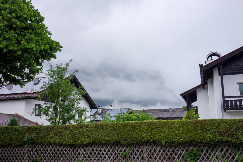
I got up at 5:30am. It was raining. Not a good start. None the less, I put on my backpack, grabbed my jacket, and started jogging. My plan was to get ahead of schedule as best as possible on the lower flatter parts.
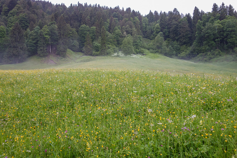
I am glad I didnt cancel due to rain, as it was soon starting to clear up, as I passed fields of flowers.
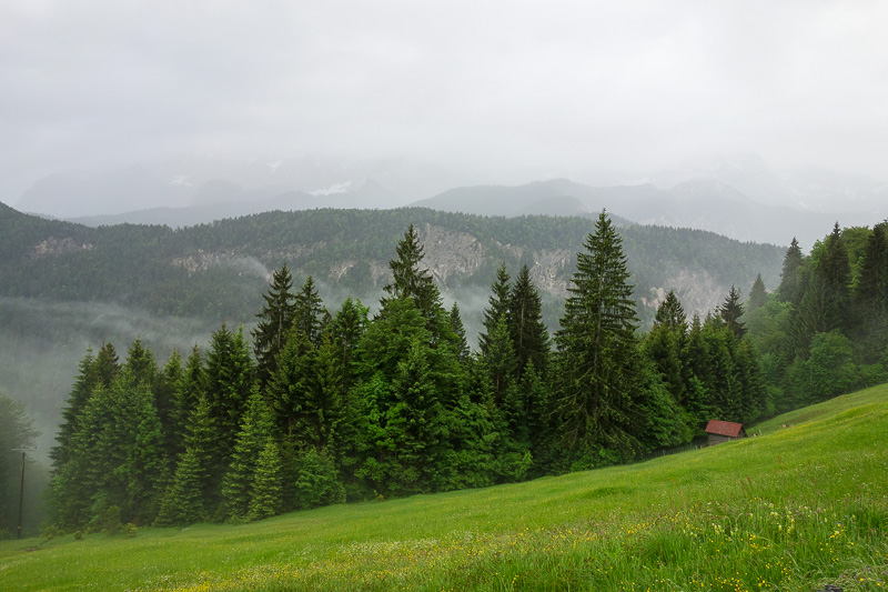
I avoided the famous tourist gorge thing, which is carved into a cliff face, as it apparently doesnt open until 8am.
The internet said its possible to go past the gate without paying before then, but that sounded like a situation ending in me having to double back.
The slightly alternate path meant I had to climb a bit, and then descend again to the river, which is frustrating.
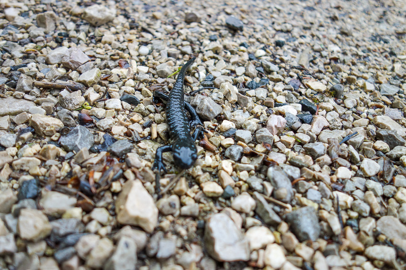
There were hundreds of these tiny black lizards.
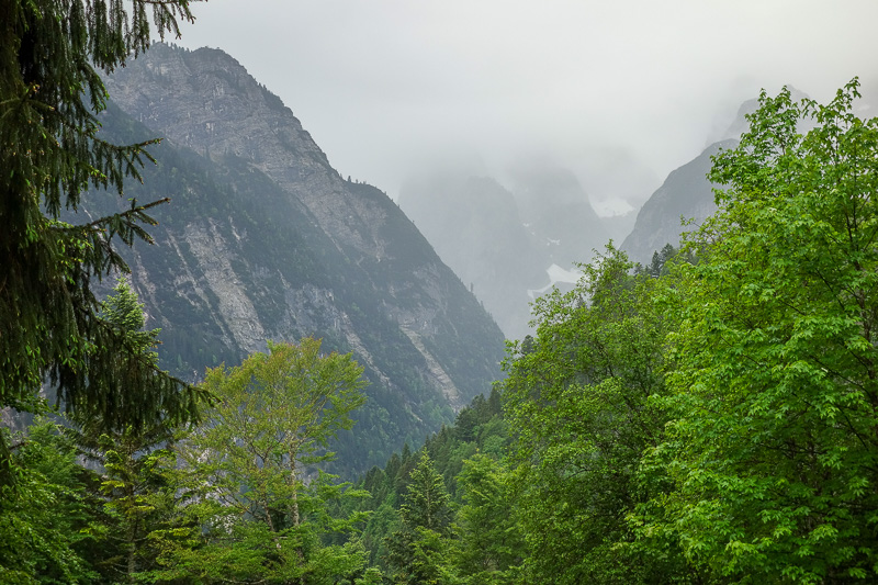
The journey ahead looked exciting.
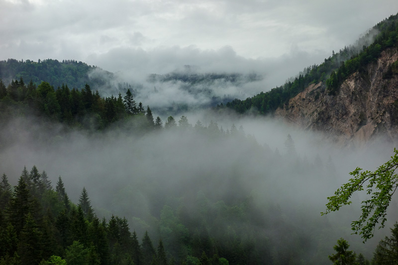
Cloud would come and go, but it didnt really rain much apart from the 30 minutes between my hotel and the start of the trail proper.
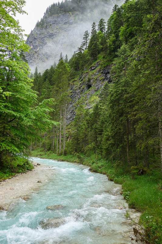
Eventually I rejoined the river, which appears to be blue. It looks cold.
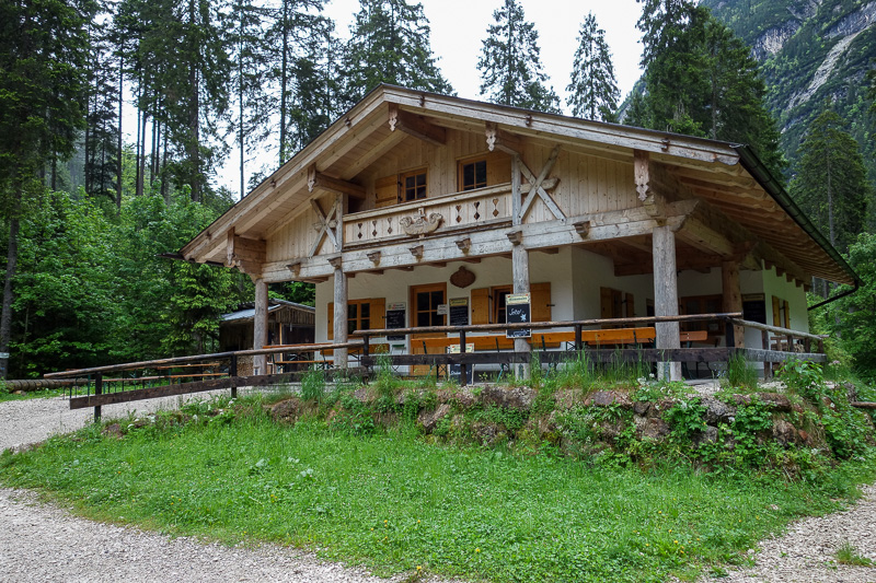
Here is the first hut. No one there, opens at 11am for day trippers keen to make a 4.5 hour round trip for a beer in the valley.
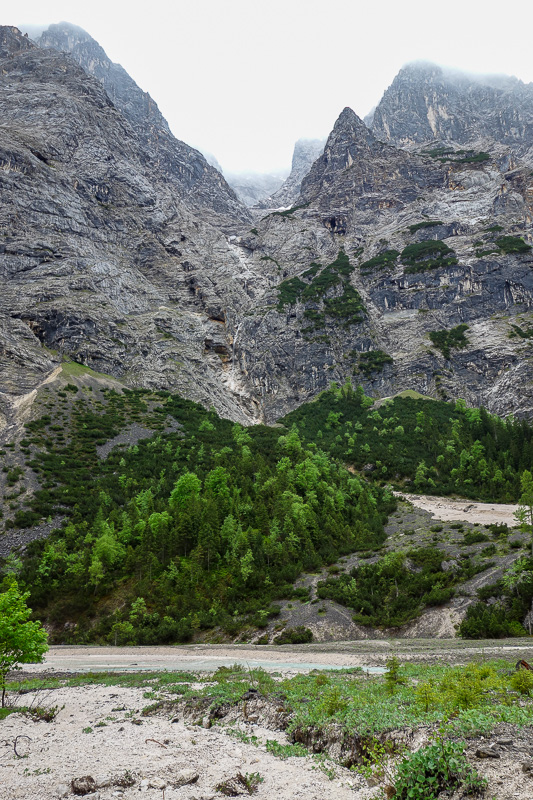
Every now and then I would reach a plateau. Note the lack of snow here... remember that for later.
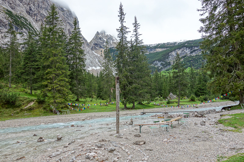
Hut number 2 has a nice outdoor area for picnics.
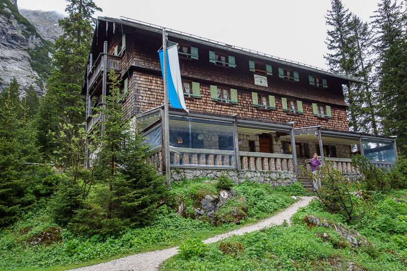
People sleep here before descending back down.... not me. Heres one of very few people I saw, a woman in her pyjamas on the phone.
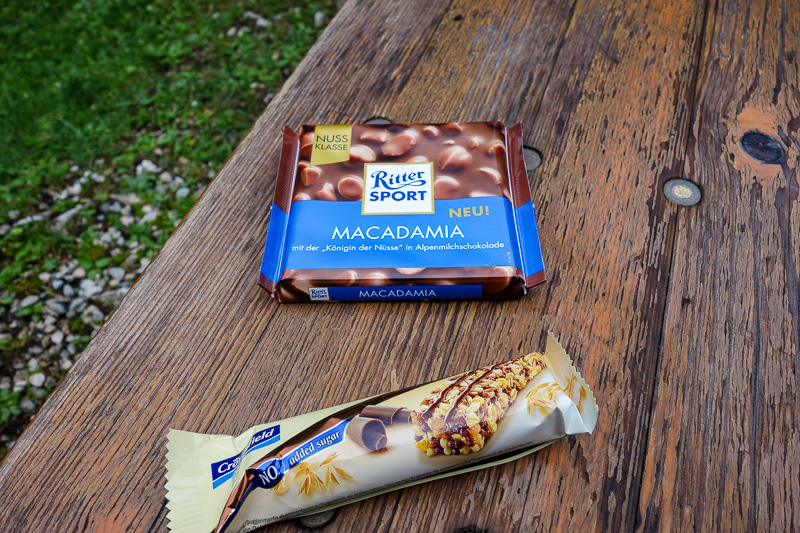
Time for me to break out the good stuff.
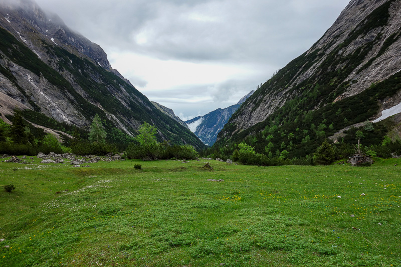
Soon after hut 2 was this cool grassed plateau, the last one. It was sharply up hill from here.
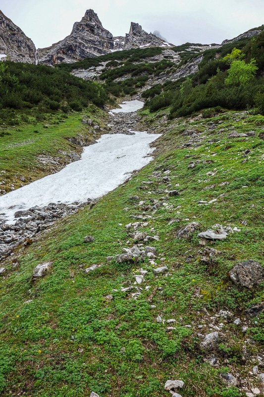
First signs of ice. I was still feeling highly energetic and about 90 minutes ahead of schedule.
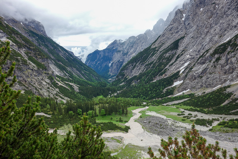
The view back from where I had come was impressive. That isnt a path, its streams of rocks and gravel.
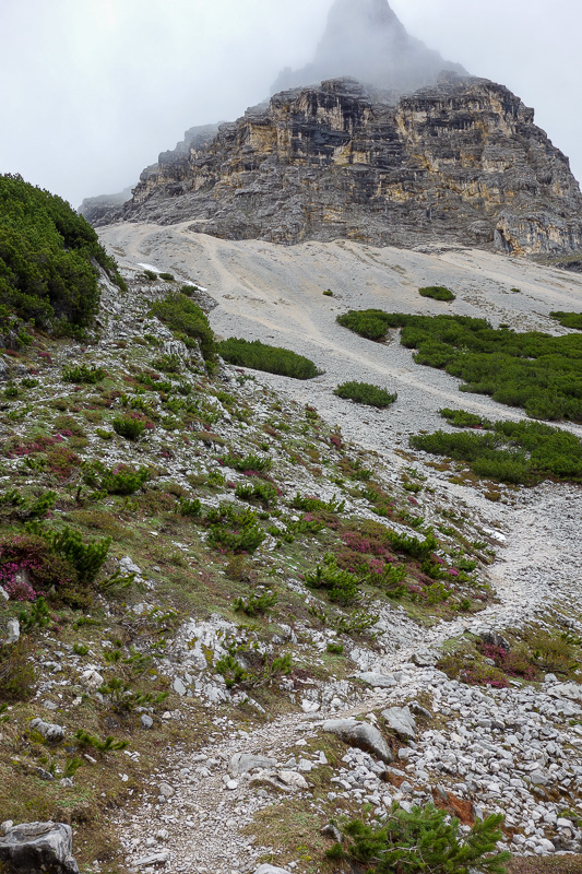
Then I got to what was by far the hardest bit. A very steep section, hundreds of metres high, of whats called scree.
It took me 90 minutes to crawl to the top of this.
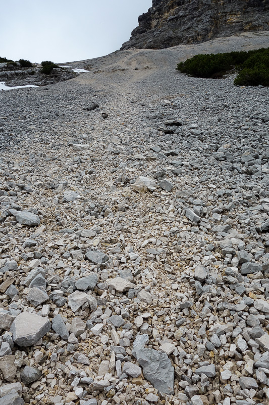
I had to put on my gloves and jacket, and accept that I would slide back down some of the time.
I was very glad to get to the top, at times I was questioning if this was the right way.
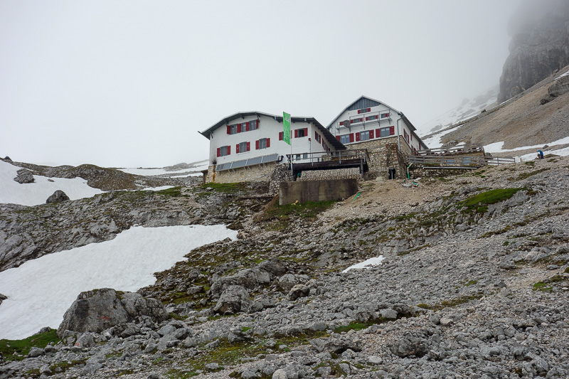
Once I crested the ridge, I knew it was the right way, here is hut number 3. I was very glad to see it.
They were very surprised when I told them I had climbed up from the bottom, most catch the cable car to the top, the cable car back down my side, then walk down to avoid the scree field and to shave off 6 hours of climbing.
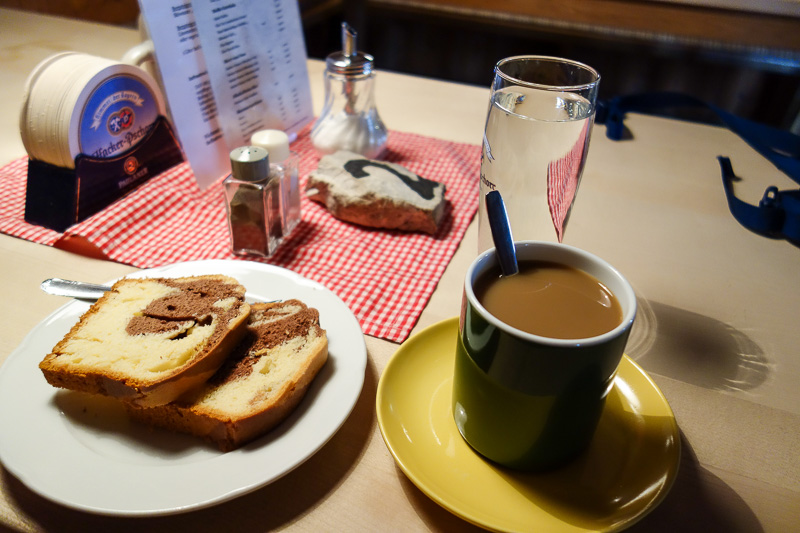
I was still well ahead of schedule according to the sign outside, so I enjoyed a cake and coffee. Amazingly only $9 Australian.
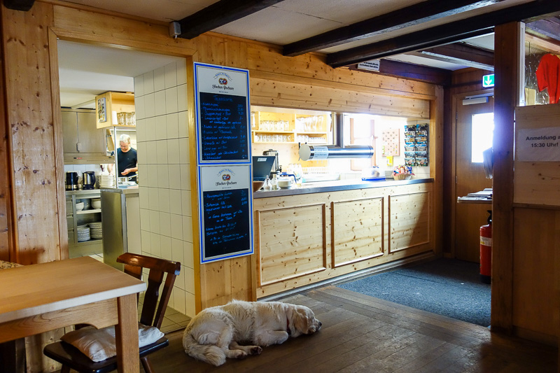
Snow dog was old and tired. The staff looked like escaped criminals. All their supplies come down the mountain via cable car.
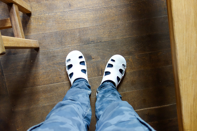
I had to wear funky slippers.
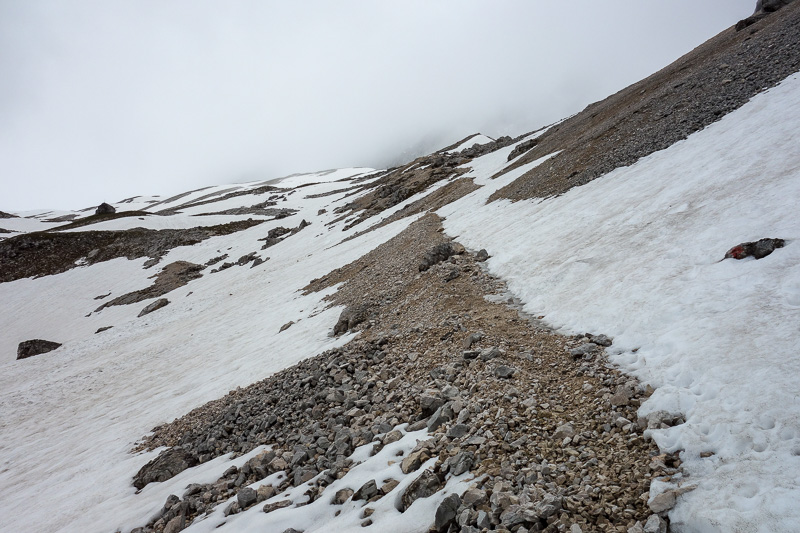
Immediately above hut 3, the snow started.
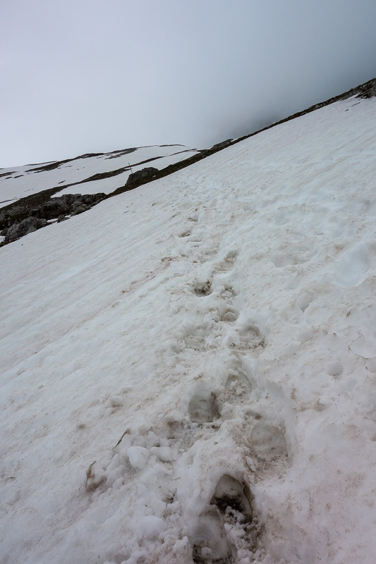
I had footsteps to follow of someone who had come down.
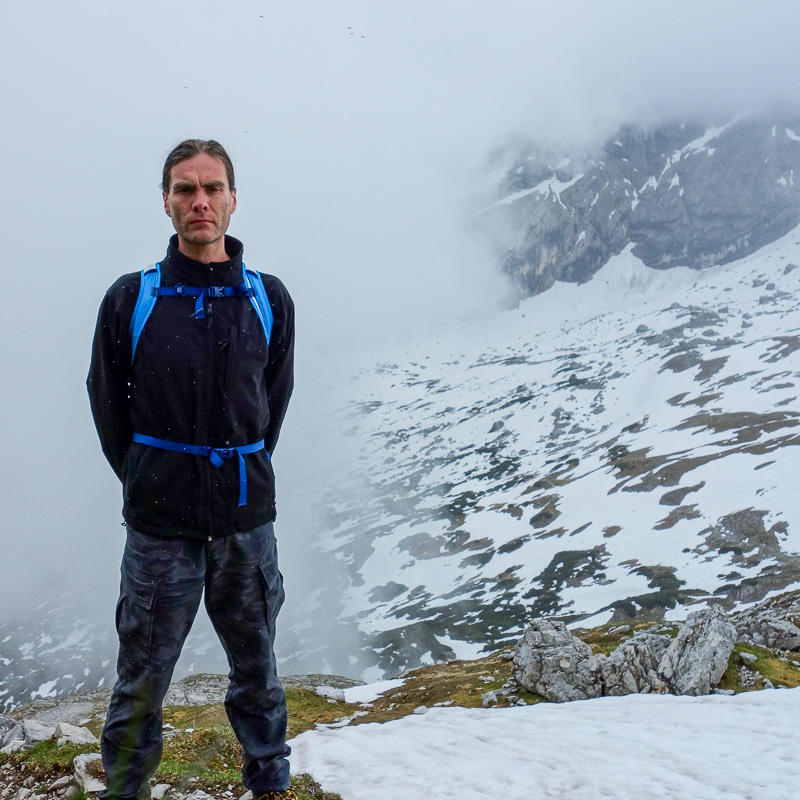
Thought I had better do the selfie thing, as the weather appeared to be following me up the mountain.
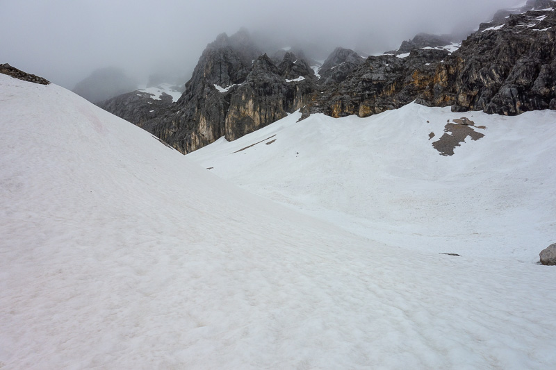
Epic scenery not conveyed in the photo, those rocks are hundreds of metres high.
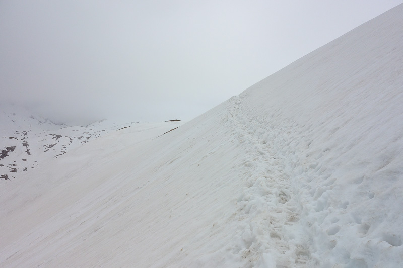
Happy someone else made footsteps. There was a metal pole sticking up every now and then, but it was a case of make your own trail.
The snow actually made it easier to walk on than the rocks / big gravel. Just every now and then your foot would sink in further than expected.
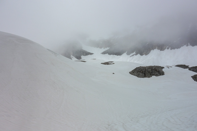
More snow.
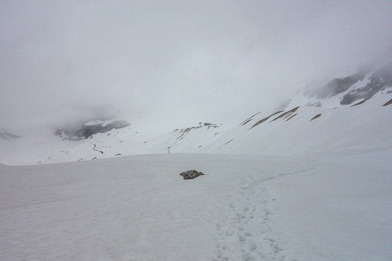
And more snow. Remember it is summer here!
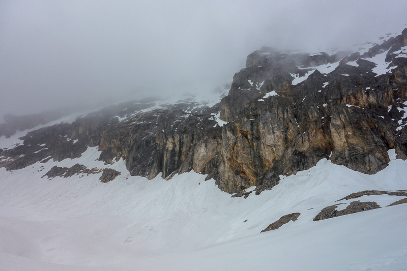
I was getting closer to that rock face after a couple of hours, but still couldnt see the top of the mountain due to cloud.
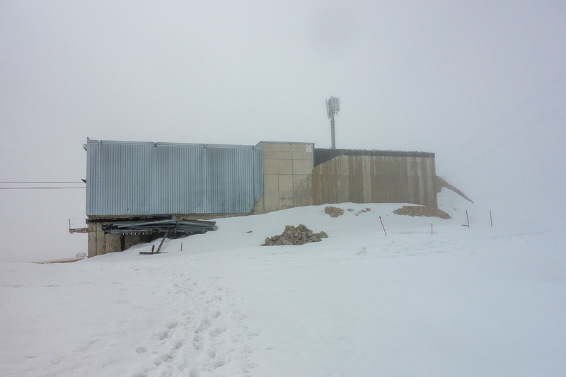
It got really foggy for a while, but then I spotted the lower cable car station....I would at least achieve my backup plan.
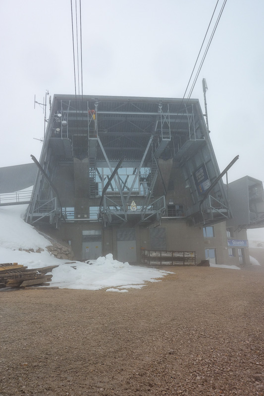
I walked around to see if I could keep going from here, all signs point to yes!
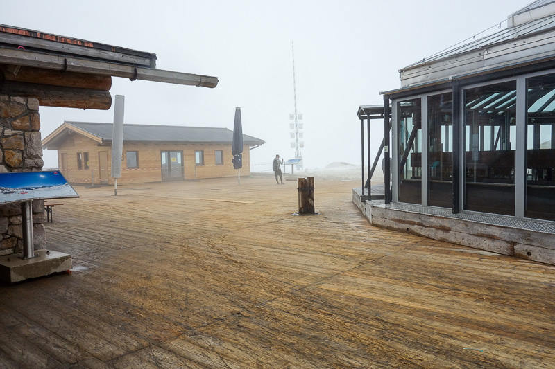
Still at least an hour ahead of schedule, I decided to check out the buildings. How do they build them up here? Helicopter the stuff in?
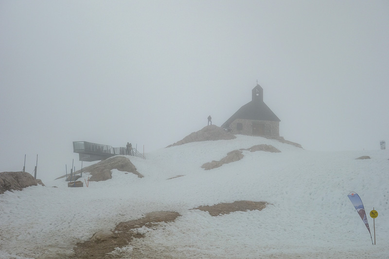
Someones built a church even.
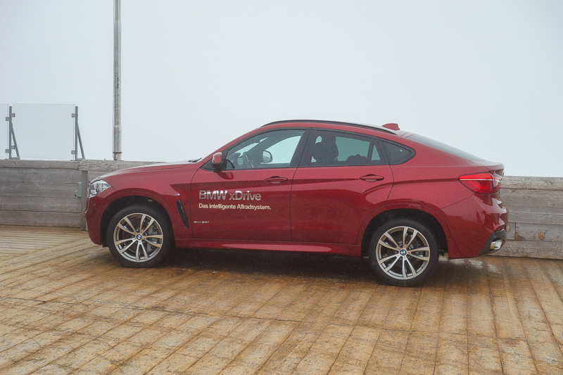
BMW did definitely helicopter the car in. I saw a documentary about how they did it on the train once I was down.
Kind of a pointless advertisement, if it drove up, that would be an achievement, but you might as well drop a 2 tonne piece of concrete up here.
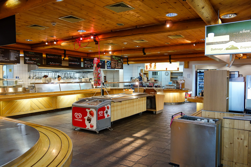
This place had a huge snack bar, and very few customers.
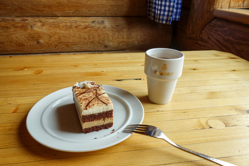
So I had some more cake.
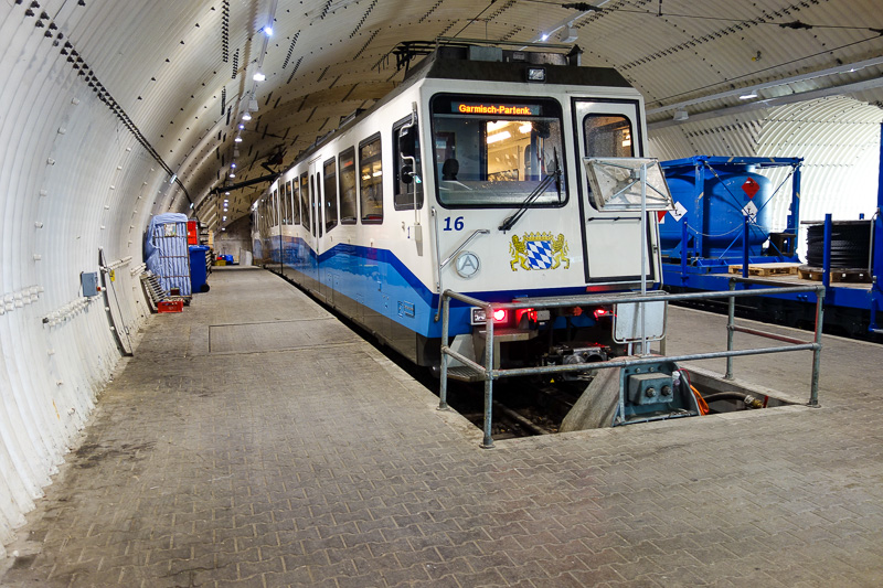
Its also the spot where the cog train pops out of the mountain having spiraled its way up inside the mountain in a man made tunnel.
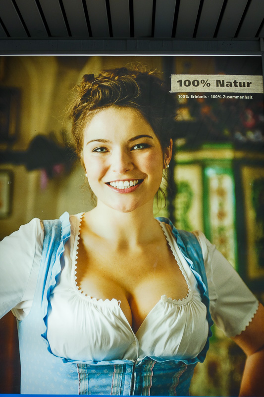
100% natural, apparently.
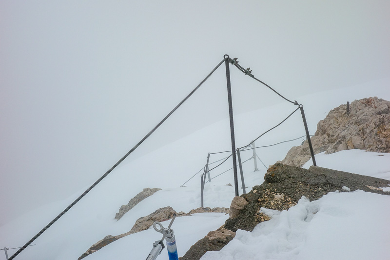
It wasnt far to the summit now, about an hour, but it was very foggy. My camera extended the lense at one point and then turned off! So I was a bit concerned.
It wasnt at all cold, not even 0 degrees, so I dont know why this happened.
Towards the very top, there was a small section of wire to hang onto so you didnt fall off a ridge.
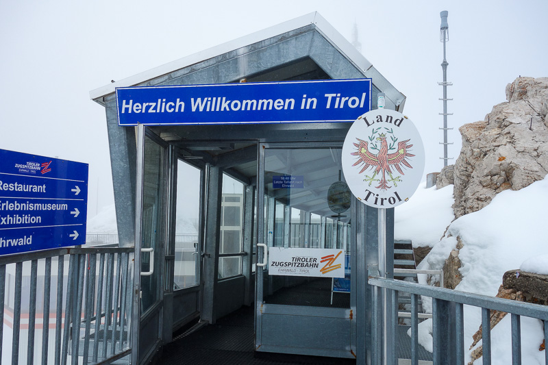
And then I climbed up some metal steps to the huge tourist centre on the summit. I technically crossed the border to Austria.
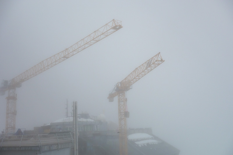
There are even big cranes on the summit building more stuff. The weather was getting worse, but there was basically no wind all day.
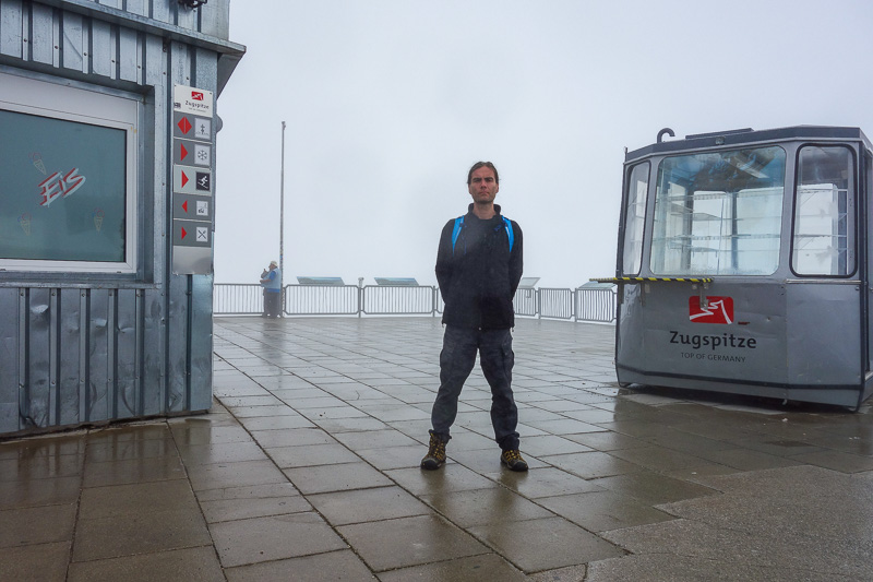
No view to speak of, but selfie I did.
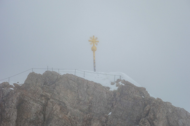
Then I walked around and saw the real summit. It appeared to be closed. I asked someone and they said closed because idiot tourists try and go up there drunk in flip flops and t-shirts.
I explained I had walked from the bottom the long way, he said 'today? all the way? from the town?'. When I told him I had, he let me go to the summit!
Apparently I was the only person to climb UP this week, and the route from the lower cable car hut to the summit was officially closed today.....I must not have seen that sign.
There was NOTHING to see when I was on the summit, just whiteness. My camera was struggling to focus too.
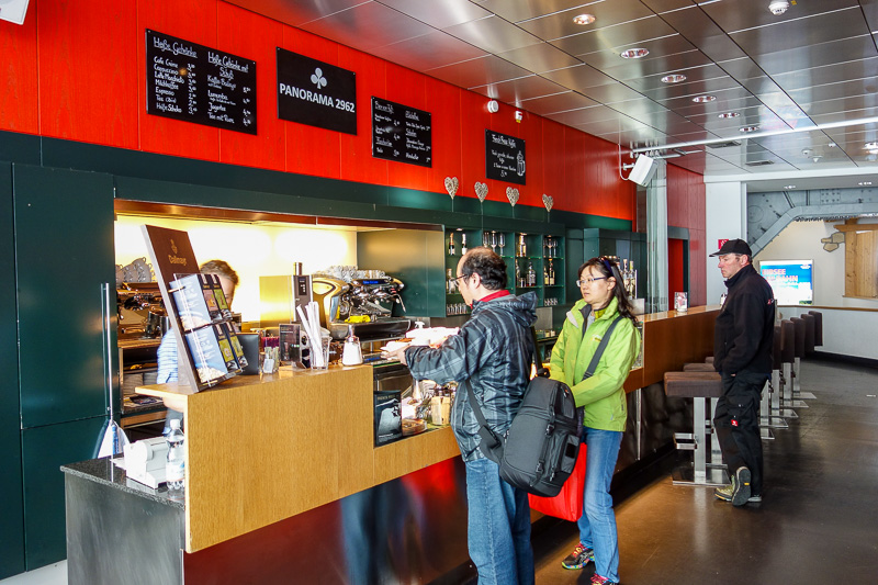
Inside has bars, restaurants, and tourists from everywhere. I was full of cake by now.
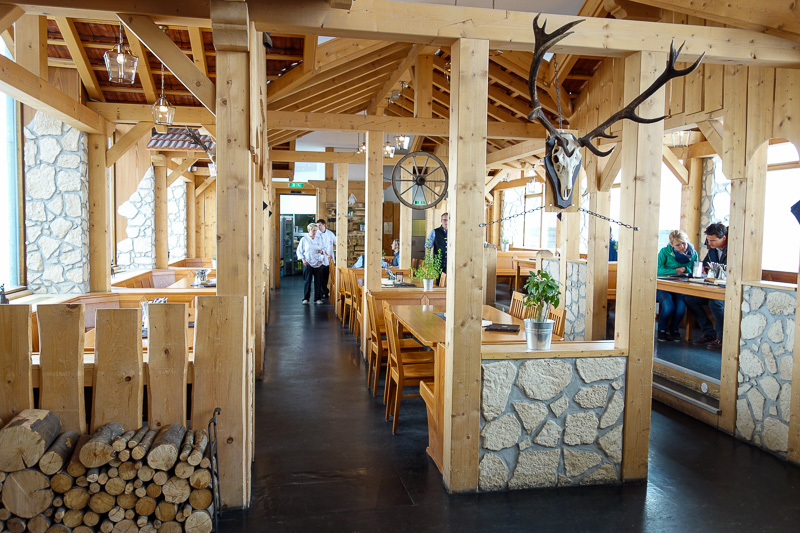
There is a really high end restaurant somewhere, this isnt it, its only open for dinner and they bring you up as a group in the cable car.
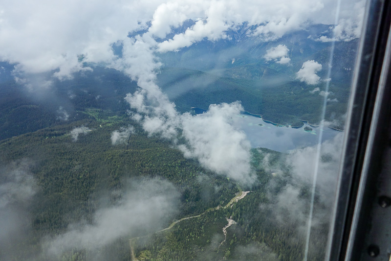
Now time to descend, and seriously it was like coming down in a plane. So fast, so steep.
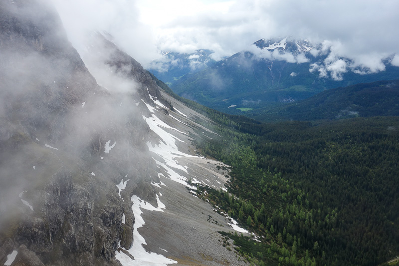
It is not possible to climb up this way.
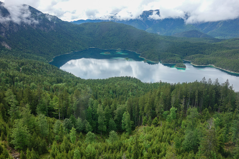
Nearer the bottom is a famous lake people like to walk around, I forget its name though, and cant be bothered looking it up.
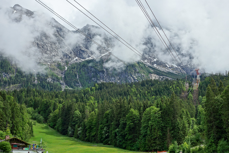
Back at the bottom, the summit was still in cloud.
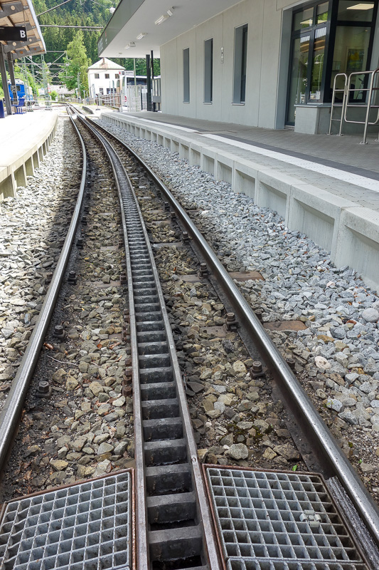
Time to transfer to the cog train for the rest of the ride into town. The part inside the mountain takes over an hour, the cable car takes 10 minutes to go up 2300 vertical metres.
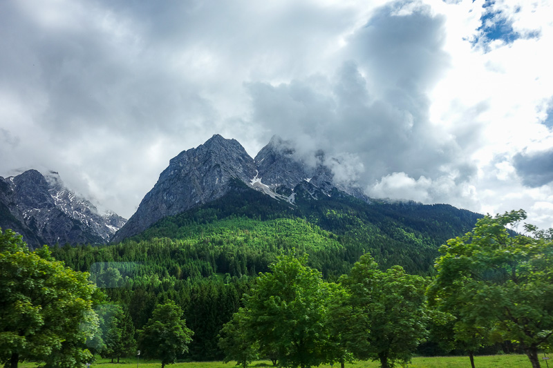
One last mountain photo! Dont expect many photos tonight.